Project description
On the 26th of December 2004 a massive tsunami which started from an earthquake in Aceh, Indonesia, hit coastlines around the Indian ocean. It killed over 200 thousand people kicking off urgent research into the hazard. Since then, geologists have found evidence that at least 10 previous tsunamis happened in the area during the last 8000 years. However, geology suggests that other parts of the Sumatran coastline, which have not been studied equally well, should also experience tsunamis from time to time. In this project we will study the West Sumatran coastline south of Aceh, looking for evidence of sand layers left by past tsunamis in natural sediment traps such as swamps. We aim to answer three questions: (1) Do the coastal swamps of Sumatra contain evidence of past tsunamis? (2) Do tsunamis always happen in the same areas and with the same size or do they vary? (3) Are there areas that tend to stop the earthquake ruptures that cause tsunamis? Or do the edges of the ruptures change through time?
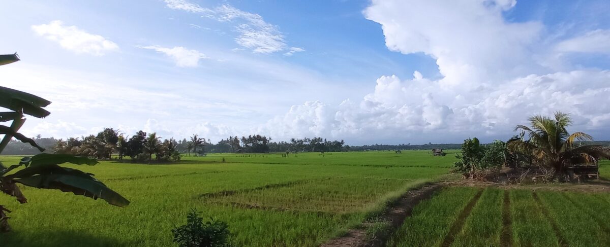
To answer these questions, we need to sample paleotsunami archives preserved in coastal wetlands and mangroves. We look in these environments because they typically deposit fine grains sediments such as silts or clays, due to the very slow movement of water through the environments. By contrast tsunamis move water very rapidly, and, as a result they can carry much coarser sediments like sand and gravel. Hence, a tsunami deposit is usually clearly distinguishable from the “normal” sediments in these environments. During an earlier project, conducted at the Earth Observatory of Singapore by the authors of this study, we identified promising wetland sites from satellite images. Then worked with our colleagues from Tsunami and Disaster Mitigation Center in Banda Aceh to train a team of Indonesian geologists and sample sediments from the swampy sites. This work was largely done during the COVID pandemic and had to overcome multiple logistical challenges. But because of our efforts we identified 18 promising sites, we sampled sediments from them and found sandy layers suggestive of tsunami events in several of them. Importantly these sites are located south of the part of the coastline destroyed by the 2004 tsunami, in areas which were not previously studied.
However, before we can analyse the tsunami history there is one more important step. The same wetlands where tsunami sediments are preserved are occasionally hit by river flooding. In the tropics in particular violent floods can occur suddenly after just a few hours of rain. The rapid water flow, similarly, to a tsunami, carry coarse grain sand and even gravel. So, before the team can reconstruct the tsunami history, we have to first be sure that each sand layer we analyse was placed in the system by a tsunami, and not a river flood. This is the main puzzle the project is going to work on. Sand deposits may look similar regardless of the type of event that placed them, but the source of the sand, the types of minerals mixed in it, and the chemicals in a marine deposit such as a tsunami are quite distinctive from a freshwater deposit such as a river flood. Our project will concentrate on solving this puzzle for each of the many cores, and each sand layer in them. Sorting out true tsunami evidence from other events that affect the study areas. To do this we will first analyse the grainsize of the sediment to pick out deposits we are most interested in. Then, we will work on several other aspects. For example, the chemistry of the sediment, whether it contains marine salts or other elements which are conversely only found in freshwater sediments. We will also see if the minerals in the sediment are those that were recently eroded out of the nearby mountains, these are often found in flood deposits. Conversely, they may contain fragments of various marine shells suggesting marine flooding such as a tsunami. Finally, we will look at microscopic creatures such foraminifera, they are small sub millimetre creatures who build hard shells. When the creature dies, the shell can fall to the bottom and remain preserved for thousands of years. Importantly for us, foraminifera only live in salt water. Hence, they are only preserved in tsunami sediments and not in river flood sediments.
Finally, we will be able to discover the number of tsunamis that occurred in the past on each of the sites. We will find out when they occurred by dating organic matter also preserved in, or just below the tsunami layer. With this information we will be able to reconstruct the number of tsunamis and whether some of them were so big that they can be seen on multiple study sites. We can also see if multiple tsunamis hit the same parts of the coastlines or if the locations change frequently. These kinds of details are crucial for modern day risk studies. For a city to prepare for tsunamis, they need to know how big they get and how often they occur. For example, in part of Sulawesi, the historical record tells us tsunamis may not be huge at 4-5 meters high but can happen perhaps as often as every other decade. On the other side of Indonesia in Aceh tsunami waves can be massive reaching over 20 meters in height but occur less often, perhaps once in 500 years. These contexts require very different preparations in terms of evacuation routes, buildings, and overall city development. This is the context our project hopes to start building for the west coast of Sumatra.